Methods
At Zonge Geophysics, we specialise in imaging the subsurface using electrically-based geophysical techniques.
We have extensive experience across conventional electrical and electromagnetic techniques, and are innovative in using our equipment creatively to achieve the desired result. We specialise in resistivity / IP, both controlled source and natural source magnetotellurics (CSAMT and MT), the entire range of standard electromagnetic techniques, as well as ground penetrating radar (GPR).
Find out more about the methods we use for geophysical data collection below.
IP / Resistivity
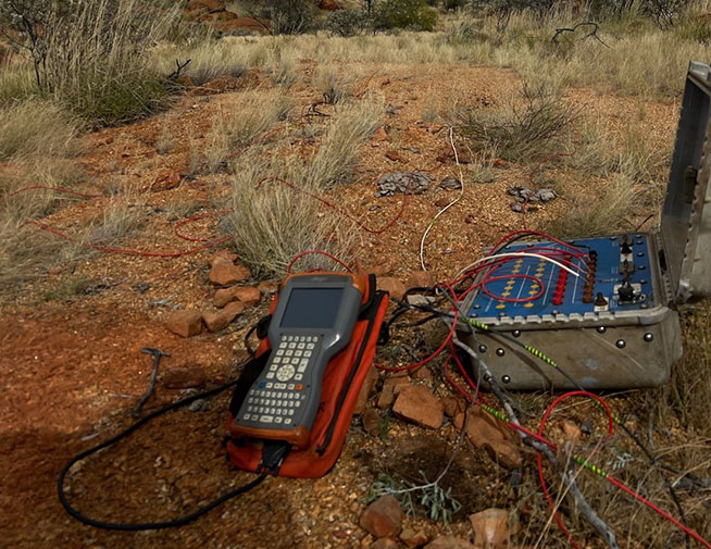
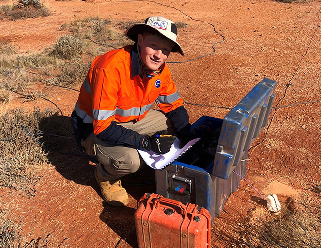
IP and resistivity surveys are powerful tools for investigating subsurface materials based on their electrical properties. Resistivity measures how strongly the ground resists electrical current, while IP detects the delayed voltage response of certain materials, often associated with disseminated sulphide minerals. These methods are widely used in mineral exploration, groundwater studies, and environmental site assessments, helping to identify ore bodies, aquifers, and contamination zones.
We offer both time and frequency domain surveys. We provide standard 2D along with offset 2D and 3D surveys, plus the ability to forward model and invert all of these data sets. Our workhorses are the GDD range of instrumentation (both receivers and transmitters), often combined with Zonge Geophysics transmitter systems. The AGT gDAS system is gaining popularity due to its small instrument size and versatility. See our Innovation section for more on this.
EM / Electromagnetics
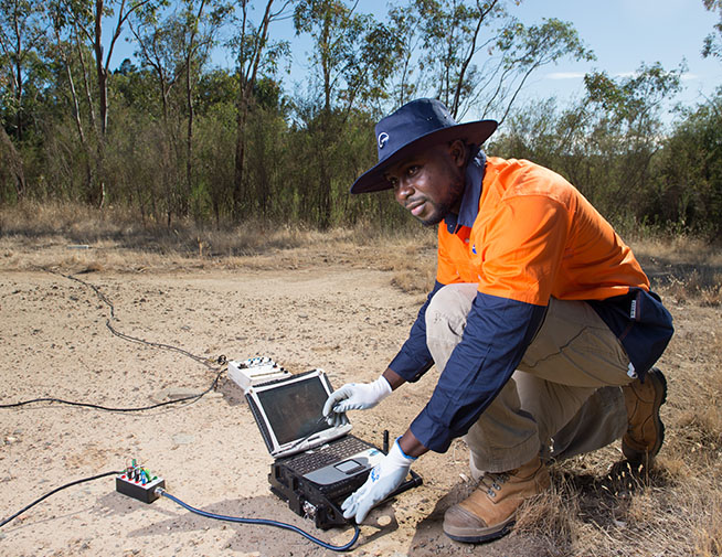
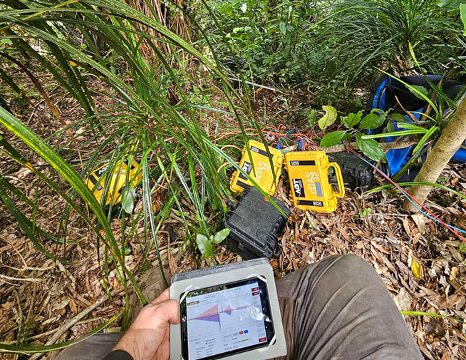
EM methods use time-varying magnetic fields to induce electrical currents in the ground, which are then measured to determine subsurface conductivity. These techniques are effective for detecting conductive ore bodies, groundwater, and buried infrastructure. EM surveys are commonly used in mining, hydrogeology, and environmental investigations, offering rapid coverage and sensitivity to conductive features.
We offer the full range of EM surveys, ranging from TEM, our NanoTEM system, Loupe, and all of the new variations developed for shallower environmental and geotechnical surveys.
AMT / MT / Magnetotellurics
MT and AMT are passive geophysical methods that measure natural variations in the Earth’s magnetic and electric fields to map deep subsurface resistivity. MT is ideal for imaging structures at depths of several kilometres, making it valuable for oil and gas exploration, geothermal resource assessment, and tectonic studies. AMT, operating at higher frequencies, is better suited for shallower investigations such as mineral exploration and volcanic hazard assessment.
We offer a full range of instrumentation suited to collect high quality AMT / MT data sets. Our workhorses are the Phoenix range of instrumentation, with the AGT gDAS system gaining popularity due to its small instrument size and versatility. See our Innovation section for more on this.
CSAMT / Controlled Source Audiomagnetotellurics
CSAMT is a frequency-domain EM method that uses a controlled source to investigate subsurface resistivity at greater depths than conventional EM. It is particularly useful in mineral and geothermal exploration, hydrocarbon prospecting, and deep groundwater studies, providing high-resolution imaging of resistivity contrasts in complex geological settings.
Pioneered by Zonge Engineering in the 1980s worldwide, this variation on the AMT / MT group of surveys, using a ‘remote’ transmitter setup to mimic a naturally-sourced magnetotelluric signal, often makes CSAMT the preferred survey where AMT / MT are not as useful—especially for epithermal / hydrothermal gold deposits. It is also very useful to fill in frequency information (especially higher frequencies) missed by AMT / MT.
DH / Downhole EM IP
Downhole EM and IP surveys involve placing sensors in boreholes to measure the electrical or electromagnetic response of the surrounding rock. These methods provide high-resolution data near drill holes, making them ideal for targeting mineralised zones, mapping ore body extensions, and validating surface geophysical results. They are commonly used in advanced mineral exploration and resource delineation.
GPR / Ground Penetrating Radar
GPR uses high-frequency radio waves to detect changes in subsurface materials. It is highly effective for shallow investigations, such as locating utilities, mapping voids, detecting buried objects, and assessing pavement or concrete structures. GPR is widely used in engineering, environmental, archaeological, and forensic applications due to its non-invasive nature and high-resolution imaging.